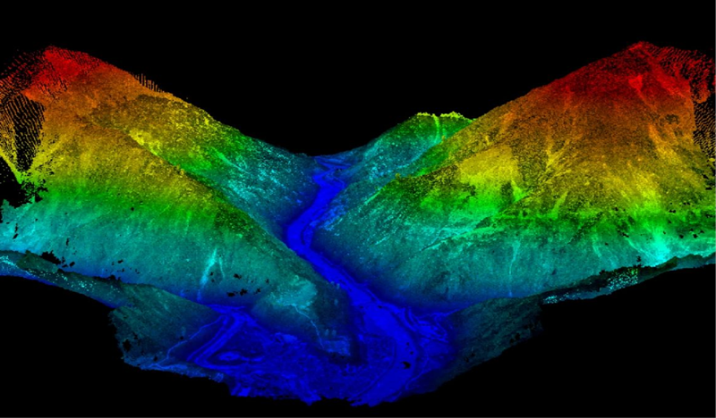
LiDAR, which stands for Light Detection and Ranging, is a remote sensing technology that uses pulsed laser light to measure distances and create highly accurate 3D maps of environments and objects.
Key Applications
- Autonomous vehicles: Navigating self-driving cars safely.
- Topographic mapping: Creating detailed digital elevation models.
- Forestry management: Measuring canopy heights and biomass.
- Archaeology: Uncovering hidden structures beneath dense vegetation.
- Agriculture: Mapping crop fields for precision farming.